Register by Friday, February 17. To register, click here.

During the early formation of the District of Columbia, in the years following the Revolutionary War, there was a strong desire to separate the new nation from Europe, in all aspects. One facet of that belief was the establishment of an American Prime Meridian. One in which there would be no relation to the existing acceptance of the Prime Meridian established at Greenwich.
During the presidential administration of Thomas Jefferson, he soon realized the necessity of a prime meridian as he commissioned the Lewis and Clark Expedition. Prior to the expedition's departure, Jefferson elicited the help of Andrew Ellicott to assist members of the expedition in the use of instruments for rudimentary measurements for latitude and longitude. Ellicott had just completed his survey of the District of Columbia boundary and he set about to help with instruction in the use of the instruments and the calculations for astronomical observations.
Within a short period of time Jefferson also mandated an American prime meridian, a line he proposed that would run through the White House and marked by a stone monument placed near the site of what was to become the Washington Monument. However, over the next decade or so it was discovered that any meridian other than that of Greenwich was found to be too cumbersome, especially when navigating at sea.
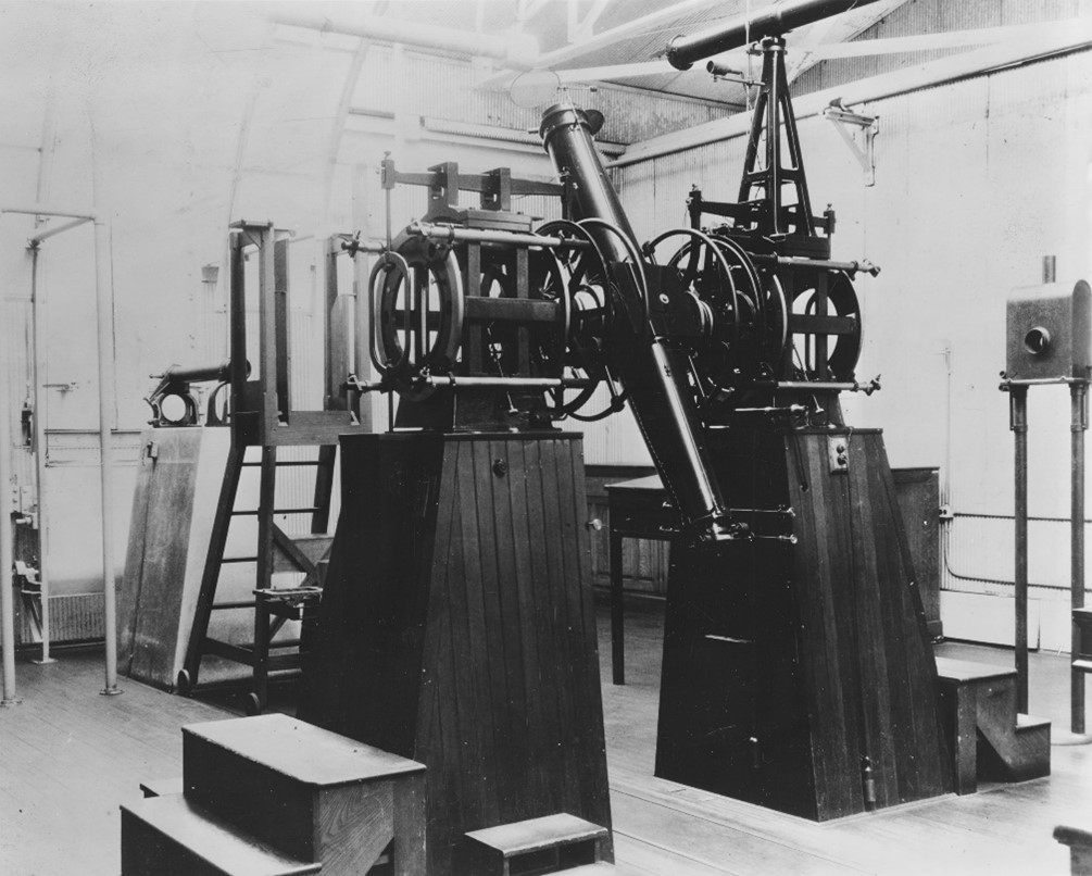
In the years following Jefferson's presidency the Navy began their efforts with the creation of the Depot of Charts and Instruments and as an outcome an observatory was established on the grounds of the Capitol Building. The Navy, with a pronounced interest in an adequate navigation system, officially established the US Naval Observatory in the 1840's. with its first observatory building located east of the White House, near what is now the Kennedy Center. And, much later to its current location on Massachusetts Avenue. Although his idea for a unique American prime meridian was not realized Jefferson's idea for a rectangular land partition system did become reality to eventually became the U.S. Public Land Survey System. To serve as the base line for that effort an American prime meridian, correlated to the Greenwich Observatory was established through the old Naval Observatory to be used for the establishment of longitude in the various states and territories.
This presentation examines the origins of an American Prime Meridian with Jefferson's early efforts in the District of Columbia, and the Navy with the establishment of a national observatory. All of which culminated with the U.S. Public Land Survey.
About the Speaker
Steve Pennington

Steve is a Senior Manager with Geo Instruments, Inc. an affiliate of Keller North America. The company operates out of several regional offices throughout the country specializing in the design and implementation of instrumentation systems for investigation of engineering applications, both structural and geotechnical. He is based in the company's Virginia office in suburban Washington, DC. He holds two degrees in civil engineering and is a licensed professional engineer in eight states and a professional land surveyor in two.Steve is a member of the American Society of Civil Engineers and is active in the Society's National Capital Section where he has been a two-time recipient of the section's "Meritorious Service Award" advocating for the history of the profession. He is also a member of the American Railway Engineering and Maintenance of Way Association (AREMA) and the Society of American Military Engineers (SAME.)Steve is the author of a recently published biography of Benjamin Wright whom ASCE declared the father of the profession in America. He has also previously co-edited publications and conference proceedings and this recent biography of Wright is Steve's first as an author. He, along with his wife, Joan, reside in Fairfax Station, Virginia.


